


Modern Analysis of satellite data for science, politics, and society
Begüm Demir, Professor of Remote Sensing Image Analysis at TU Berlin and research group lead at BIFOLD (Berlin Institute for the Foundations of Learning and Data), has secured one of the coveted Proof of Concept grants from the European Research Council (ERC). These grants aim to bridge the gap between fundamental research and practical applications, helping to transform pioneering research results into tangible societal or commercial benefits. With her project, Begüm Demir and her team will develop a new-generation AI powered digital assistant designed to facilitate seamless interaction with the vast Earth observation data of the European Copernicus archives. Using natural language or images, users will be guided through the Copernicus data to extract relevant information and/or get answers to specific questions on environmental and climate issues.
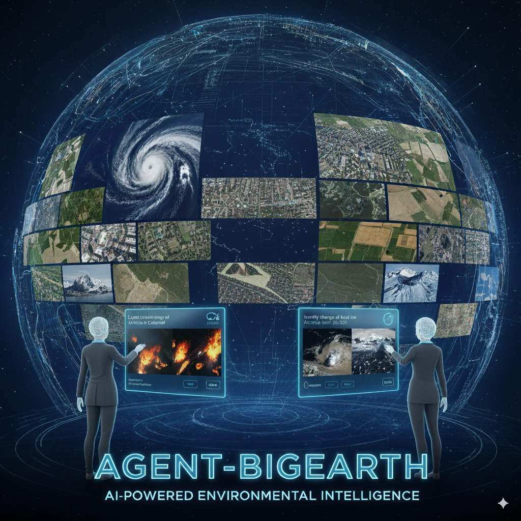
The modernized access and analysis of satellite data for science, politics, and society is at a turning point: BIFOLD scientists aim to develop Agent BigEarth, an AI agent that makes large amounts of complex satellite data easily accessible, understandable, and usable not only for experts, but also for interested laypeople, journalists, or policymakers.
The European Copernicus program, with its Sentinel satellites, delivers around 20 terabytes of high-resolution Earth observation data daily. This data contains crucial information about the state of the Earth: from changes in land use and the expansion of cities and forests to natural disasters, water quality, and agricultural production. Despite its immense importance, this data has so far mainly been accessible to experts. While cloud-based platforms exist for searching and downloading satellite images, searches are usually conducted using technical keywords such as sensor type, geographic coordinates, or acquisition date. In addition, these platforms do not engage in a dialogue with the users, and complex, content-related questions, such as "How has the vegetation of a particular region changed after a drought?", are difficult to be answered through these platforms.
Intelligent Intermediary Between Humans and Satellite Data
This is where Agent-BigEarth comes in. Similar to common chatbots, it is specifically designed for Copernicus Earth observation data. Users will engage in a dialogue with the agent: they can ask questions, upload satellite images, or describe what they are looking for, and receive targeted answers along with relevant satellite data.
Technically, Agent-BigEarth is based on a novel combination of several AI modules that will work together as specialized "sub-agents." The individual modules perform different tasks, such as understanding the user's query, selecting appropriate analysis tools, extracting relevant knowledge, or checking whether a desired analysis is technically feasible. A central control element coordinates these processes and ensures that complex queries are handled step by step.
The scientific foundations for Agent-BigEarth were laid in a predecessor ERC project by Begüm Demir's team: In the BigEarth project, her team developed innovative AI methods, providing the foundations of accurate and scalable knowledge discovery systems for large scale satellite data archives. These methods have primarily been tested in research using benchmark datasets. Agent-BigEarth aims to integrate them for the first time in a practical system to modernize access ways to data from Copernicus archives, while enabling interactions and conversations with them. The project thus closes a gap between advanced AI research and the operational use of European satellite data. Instead of clicking through millions of files, users will be able to ask specific questions and receive clear, structured answers.
The project requires inter-disciplinary skills in terms of remote sensing, big data management, machine learning, natural language processing, and AI system design, which converge within BIFOLD. If the implementation is successful, Agent-BigEarth could play a pioneering role for Europe in the field of AI-enabled environmental intelligence.