Outline
Demonstrator Precursor Digital Assistant Interface for Digital Twin Earth (DA4DTE) is a project by the European Space Agency (ESA) that aims to simplify the usage of satellite data archives. A BIFOLD research group led by Prof. Dr. Begüm Demir has been pivotal in developing three of the four search engines featured in the digital assistant.

Details
Big Data Analytics for Earth Observation
In the fast-evolving world of Earth observation and satellite technology, accessing and harnessing the vast archives of satellite data has been a challenge for researchers and scientists. However, thanks to advancements in artificial intelligence and data analytics, the European Space Agency (ESA) has taken a significant step forward with its innovative project, DA4DTE (Demonstrator Precursor Digital Assistant Interface for Digital Twin Earth). This project aims to revolutionize the way satellite data archives are accessed and utilized through the development of a state-of-the-art digital assistant.
DA4DTE is an ambitious project that strives to create a user-friendly and efficient digital assistant tailored explicitly for satellite data archives. With its overarching goal to enhance the accessibility of Earth observation data, this demonstrator precursor seeks to simplify the process of retrieving essential satellite images and information. At its core, the DA4DTE digital assistant incorporates four distinctive search engines, each addressing specific user needs and queries.
Among the various teams collaborating on the DA4DTE project, the Remote Sensing Image Analysis Group, headed by BIFOLD research group lead Prof. Dr. Begüm Demir, has undertaken a pivotal role in designing and developing three of the four search engines featured in the digital assistant. The Search-by-Image engine, the Search-by-Text engine, and the Visual-Question-Answering engine have been their primary focus.
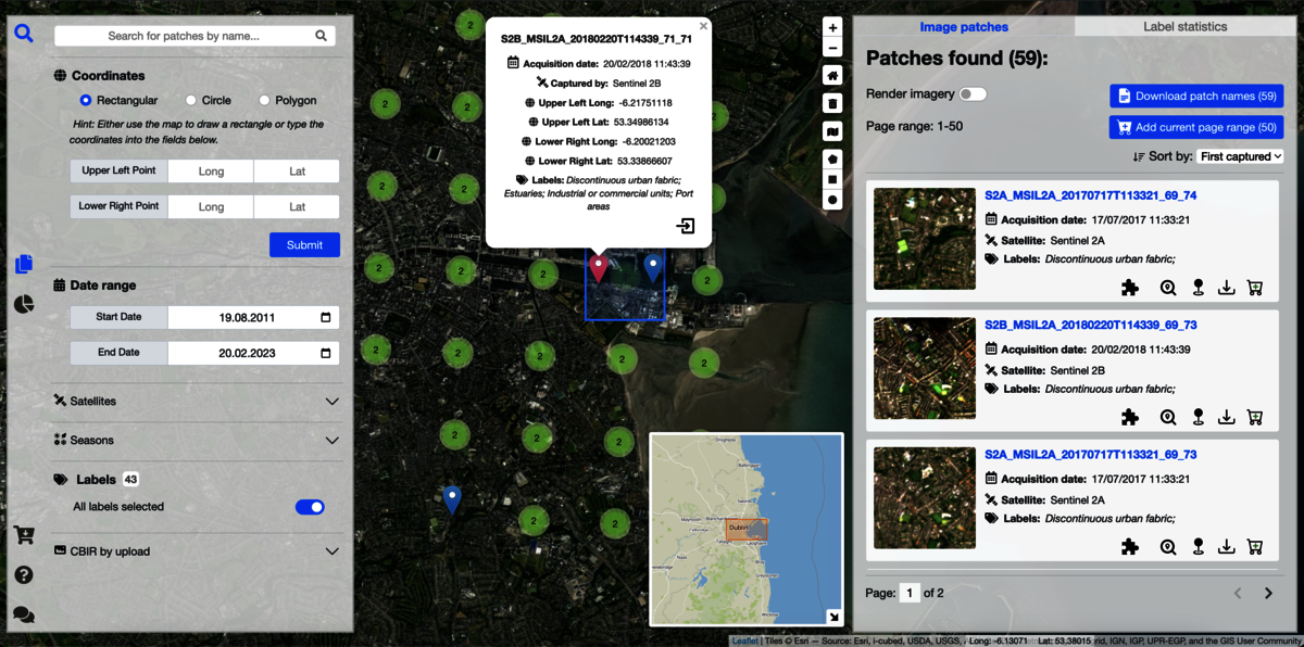
Search-by-Image: This feature allows users to perform image-based searches. By providing an input image, users can find similar satellite images from the extensive data archives, enabling a comparative analysis of various regions and timeframes.
Search-by-Text: DA4DTE's Search-by-Text function is designed to cater to users who prefer traditional text-based queries. Through natural language processing (NLP) capabilities, the digital assistant effectively understands and processes textual requests to provide relevant satellite data.
Visual-Question-Answering: The Visual-Question-Answering engine empowers users to interact with the digital assistant using images and questions. The AI-powered system interprets visual queries and generates accurate responses, bridging the gap between humans and machines in understanding satellite data.
Knowledge Graph Question Answering: The final search engine leverages advanced knowledge graph technology, allowing users to access comprehensive information and insights from interconnected datasets. This approach generates context-rich and intricate answers to queries.
To ensure the seamless integration and functioning of these search engines, a task interpreter is deployed within the digital assistant architecture. This task interpreter orchestrates the various search engines.
DA4DTE, the Demonstrator Precursor Digital Assistant Interface for Digital Twin Earth, aims to redefine the way satellite data archives are explored thereby setting new standards in Earth observation accessibility.
Official ESA Website: https://eo4society.esa.int/projects/da4dte/
Contributing team members:
Kai Norman Clasen – RSiM researcher
Leonard Hackel – BIFOLD Phd researcher
Jakob Hackstein – BIFOLD student assistant
Gencer Sumbul – RSiM Researcher
Begüm Demir – BIFOLD Research Group Lead Big Data Analytics for Earth Oberservation
Images
Tool Screenshots,
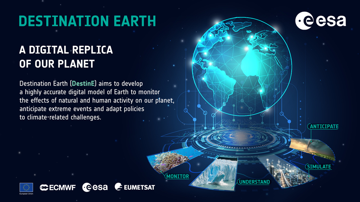
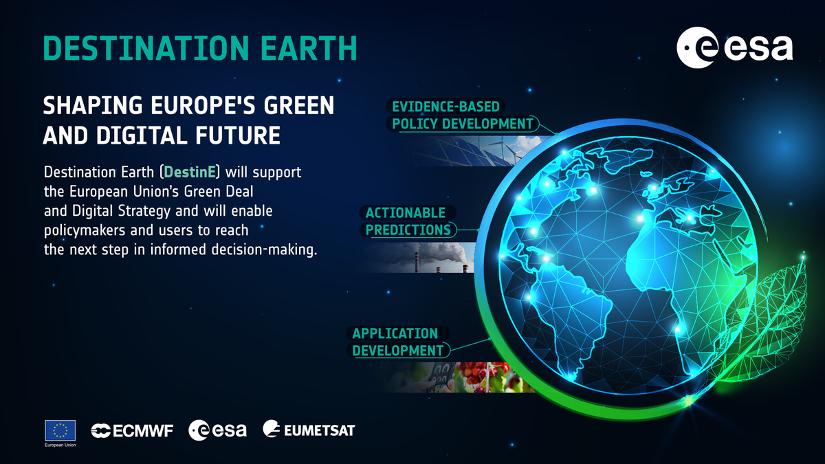
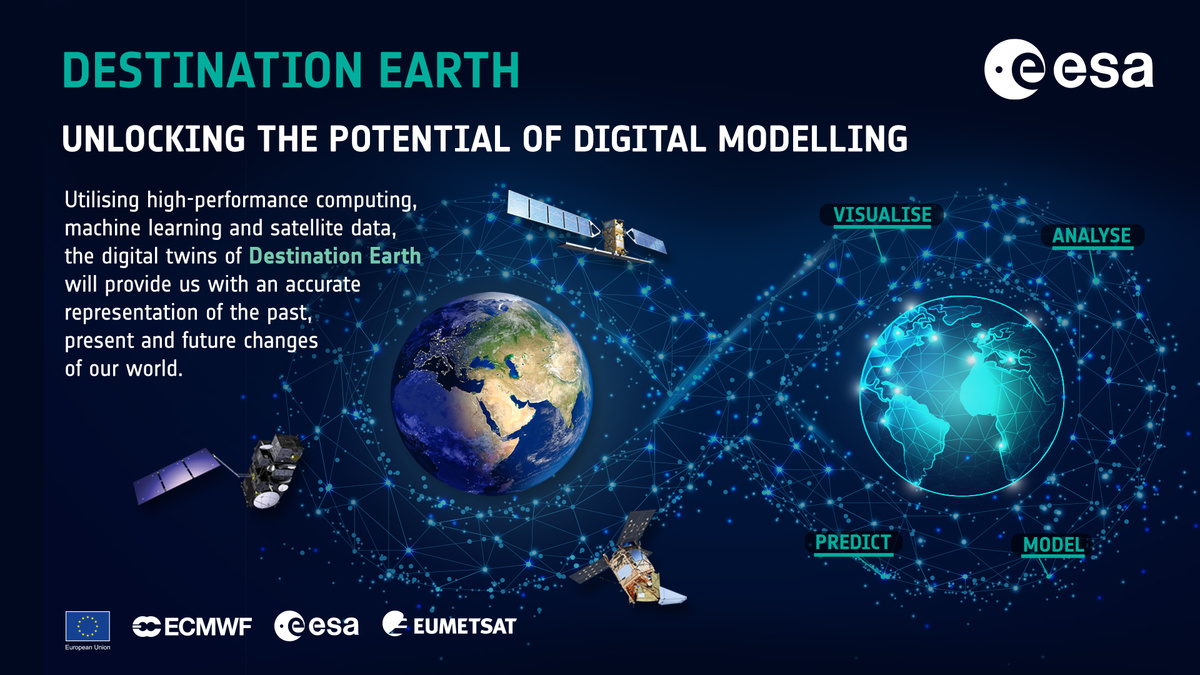
Explanations about DestinE
More
Other projects by Big Data Analytics for Earth Observation
- Meet the BIFOLD Research Group Big Data Analytics for Earth Observation
- Learn more about the HySpecNet-11k dataset
- Explore the Earth Observation tool ConfigILM


